
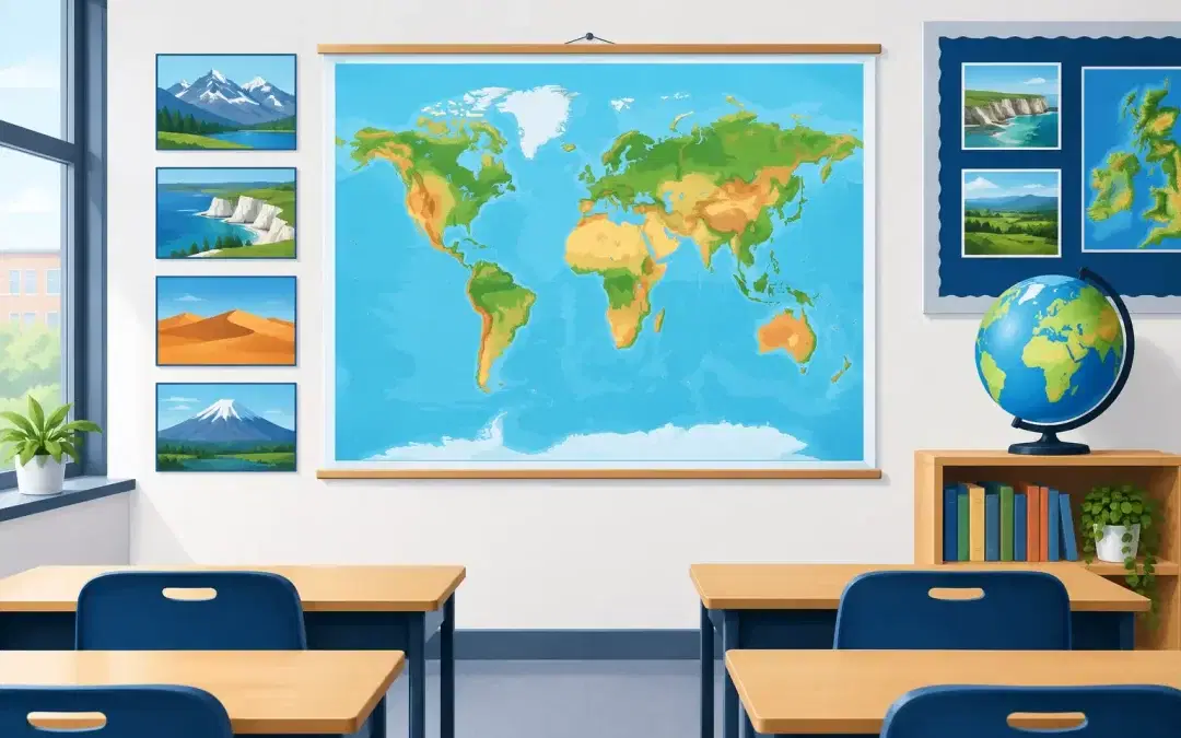
A pupil pauses outside the classroom, traces a finger from the River Thames towards the North Sea, and remembers a lesson from last week. That is the value of geography map wall displays: they keep essential knowledge visible long after the exercise book has been closed. In corridors, shared spaces and playgrounds, they create passive learning opportunities that help pupils connect places, processes and people throughout the school day.
For schools looking to make every surface work harder, maps are far more than decoration. A well-designed display can reinforce curriculum content, prompt thoughtful questions and give pupils a stronger sense of the world beyond the school gates. The best approach depends on your phase, available wall space and teaching priorities, but the goal is consistent: turn an overlooked wall into a practical learning resource.
Why geography map wall displays earn their space
Geography depends on both knowledge and context. Pupils need to understand where places are, but also how location influences climate, settlement, trade, ecosystems and culture. A map displayed at eye level gives that context a permanent place in the environment. Instead of geography being confined to a timetable slot, it becomes part of everyday school life.
Repeated visual exposure matters. A labelled world map, map of the United Kingdom or regional display gives pupils frequent, low-pressure reminders of names, borders, capital cities, continents and physical features. Over time, those encounters support recall. Staff can also refer to the display naturally during form time, assemblies, reading lessons or discussions about current events, without setting up extra resources.
There is a wider benefit for busy communal areas. A purposeful corridor feels different from a blank one. Geography graphics give pupils something meaningful to notice while queuing, moving between lessons or waiting for a member of staff. They can create conversation between year groups and offer an accessible entry point for pupils who may be less confident contributing in a whole-class setting.
Choose maps that match the curriculum and the space
A striking map is only useful if pupils can read and use it. Before choosing a display, consider what knowledge you want it to reinforce and where it will be seen. A detailed political map may suit a secondary geography department, while a simpler, colourful map with clear continents and oceans may be more appropriate for primary corridors or EYFS transition areas.
For EYFS and primary schools
Early geography displays work best when they build vocabulary and curiosity. Maps can introduce land, sea, weather, continents, countries and familiar local landmarks in a clear visual format. They are especially valuable when linked to stories, cultural celebrations, class topics or pupil travel experiences.
A UK map can support learning about the four nations, capital cities and surrounding seas. A world map opens conversations about where animals live, food comes from or family connections begin. For younger pupils, legibility should take priority over excessive detail. Clear icons, large labels and sensible use of colour help children make meaning independently.
For secondary schools
Secondary pupils benefit from displays that make subject vocabulary and geographical relationships visible. World maps, tectonic plates, climate zones, biomes, population patterns, rivers and coasts can all reinforce the knowledge needed for Key Stage 3 and GCSE study.
Department corridors can also support retrieval practice. A map alongside concise prompts about latitude, longitude, hemispheres or development indicators gives teachers a useful reference point before lessons. The display should not try to replace teaching or a textbook. Its role is to make key content easier to revisit, compare and discuss.
For outdoor learning areas
Outdoor geography map wall displays can transform a playground wall, covered walkway or entrance area into an extension of the curriculum. They are particularly effective near an outdoor classroom or gathering point, where staff can use them for quick questions, map games and whole-school activities.
Outdoor placement calls for materials designed for the conditions. Composite aluminium panels provide a strong, weatherproof option for exterior walls, while UV-guaranteed inks help colours and text remain clear in daylight. A wipe-clean protective laminate adds another practical layer, helping the display cope with rain, muddy hands and constant contact from pupils.
Make the display part of teaching, not background scenery
The difference between an attractive wall and an active learning tool is how often staff invite pupils to use it. This need not create additional workload. A teacher might ask pupils to locate a country mentioned in a class novel, identify the hemisphere of a sporting event, or point out a coastline before a lesson on erosion.
Short routines are often most effective. A weekly place of interest, a map-based question at the start of assembly, or a challenge during corridor transitions can keep a display fresh without asking teachers to prepare a new activity each day. Geography leads can align prompts with current units, so the wall display reinforces rather than competes with planned teaching.
Pupil involvement adds further value. Invite classes to contribute local photographs, fieldwork findings or carefully selected questions around a core map. This works particularly well with local-area studies. A bespoke display featuring the school’s town, nearby rivers, transport links or historical landmarks helps pupils see that geography is not only about distant places. It explains the place they know best.
Build a display that belongs to your school
Generic maps have their place, especially where schools need a straightforward curriculum resource quickly. However, customisation can make geography graphics more relevant and more likely to be used. School colours, logos and carefully chosen wording can help a display sit confidently within the wider environment. A local map can reflect the community pupils live in, while a bilingual element may recognise the languages spoken by families in the school.
Customisation should serve the learning purpose, not crowd the design. Too many logos, facts or decorative elements can reduce clarity. It is usually better to select one strong geographical focus and give it room to be read from the distance at which pupils will encounter it.
For a primary school, this might mean a large illustrated world map paired with the school’s learning values. For a secondary setting, it may be a more detailed physical map that includes subject-specific terminology and departmental identity. In either case, the visual hierarchy matters: essential labels need to be immediate, and supporting information needs to reward a closer look.
Plan for busy school life
School walls endure far more than an ordinary office environment. They are touched, brushed by bags, cleaned regularly and viewed by hundreds of pupils each day. Material choice is therefore a practical procurement decision, not a finishing detail.
Rigid foam-board displays are a strong choice for indoor walls such as classrooms, halls, libraries and corridors. They provide a clean, professional finish while remaining manageable for straightforward in-house installation. For exterior locations, composite aluminium panels are better suited to weather exposure and changing temperatures. Both options benefit from UV-stable inks and protective laminate, helping maintain a bright, wipe-clean surface in demanding settings.
It is also worth considering sightlines before ordering. A display installed behind a door, above lockers or in a narrow bottleneck may receive less attention than expected. Measure the wall, consider where pupils naturally pause and ensure the smallest text can be read from a sensible distance. Panels supplied in manageable sections can make installation more achievable for site teams while still creating a substantial finished display.
Questions schools often ask
Are map displays suitable for areas used by all year groups?
Yes, provided the information is layered clearly. A large map gives younger pupils an immediate visual anchor, while labels, symbols and additional facts offer challenge for older pupils. Shared areas can be especially effective because they encourage repeated exposure across the whole school.
Can a display include our local area and school identity?
Yes. Bespoke geography graphics can incorporate local landmarks, community information, school colours, logos and language that reflects your ethos. This is particularly useful for local-history projects, transition spaces and reception areas where visitors should quickly understand what matters to the school.
How do we keep a geography display relevant?
Choose enduring curriculum content for the main panel, such as continents, oceans, map skills or physical features. Then use nearby noticeboards, pupil work or temporary prompts to connect it with current topics. The permanent display remains useful year after year, while the surrounding content can change.
A map on the wall cannot replace brilliant teaching, fieldwork or a well-planned enquiry. What it can do is give every one of those experiences a visible home. When pupils pass a geography display and recognise a place, a pattern or a question worth asking, the school environment has become part of the lesson.